
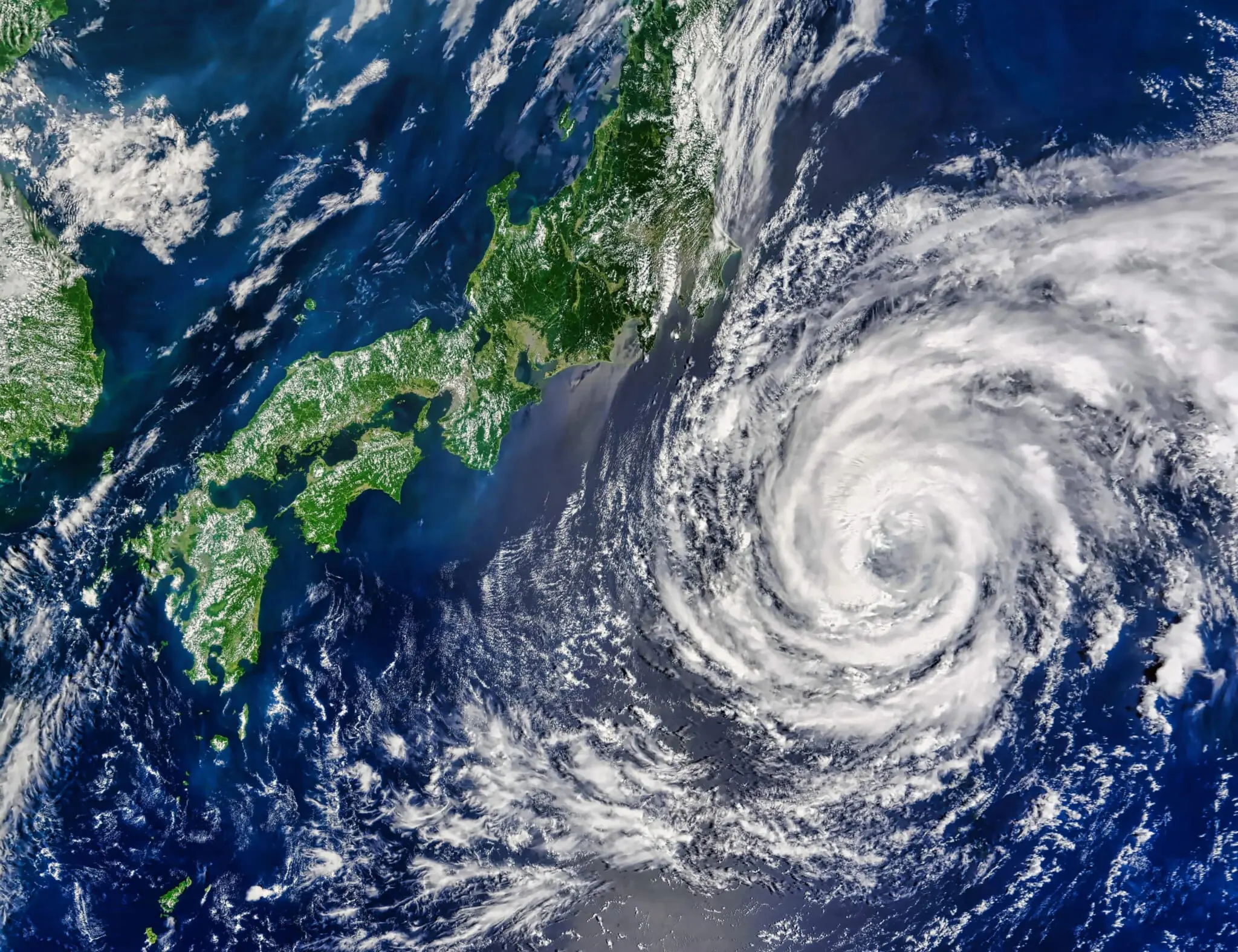
In the early hours of Thursday, August 22, a tropical depression, formed off the Mariana Islands, developed into Typhoon No. 10, also known as Typhoon Shanshan. According to the Japan Meteorological Agency (JMA), Typhoon Shanshan is slowly moving west-northwest toward Japan. It is expected to strengthen and reach the south of the country on Sunday morning. Its central pressure is forecast to be around 980 hectopascals. Timings and the exact landfall destination remain uncertain, but there is a possibility that it will directly hit western Japan next Monday, August 26. Caution is advised.

The JMA Forecasts Higher-Than-Usual Temperatures for September and October
Japan’s weather is growing more intense and erratic year by year due to climate change. On Tuesday, the JMA released its three-month forecast with bad news for those who are tired of the heat. It stated that temperatures will most likely be higher than usual across the country in September and October. “The lingering heat is expected to be severe, and autumn is likely to arrive late. Please continue to take measures against heatstroke,” said JMA official Shotaro Tanaka. There is also a possibility that both eastern and western Japan will get more rainfall than normal.
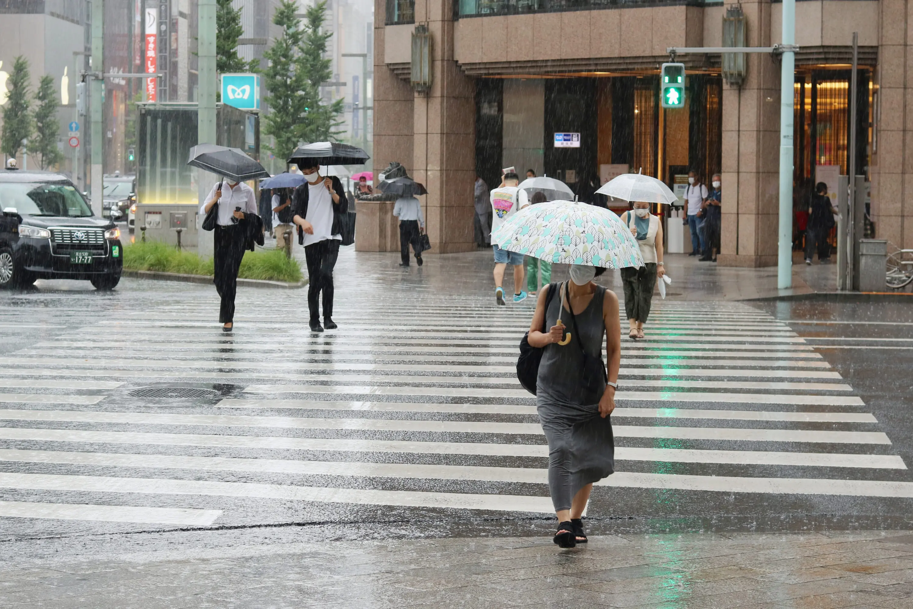
Torrential Downpour Leads to Flooding in Parts of Tokyo
On Wednesday evening, Tokyo was hit by a torrential downpour, severely testing its urban infrastructure. The rainstorm caused flooding in parts of the capital, including at Ichigaya Station, which was like a swimming pool. It was a similar sight at other stations, such as Kokuritsu-Kyōgijō, leading to several train lines being disrupted. At the Omoide Yokocho intersection in Shinjuku, water came gushing out of a manhole after the cover was dramatically blown off. A JMA official stated that the region was “experiencing unstable atmospheric conditions due to rising daytime temperatures and warm, humid air.”